SV BERTA

A 1986 steel Wattenkreuzer finding her way from the North Sea to the Mediterranean — one lock, one harbour, one story at a time.

⚓ Bremen  →  Turkey · by inland waterway
~1,580km inland
13 msteel Glacer 42
5countries
1986built to last

Meet the crew & the boat

We swapped the harbour wall for the whole of Europe

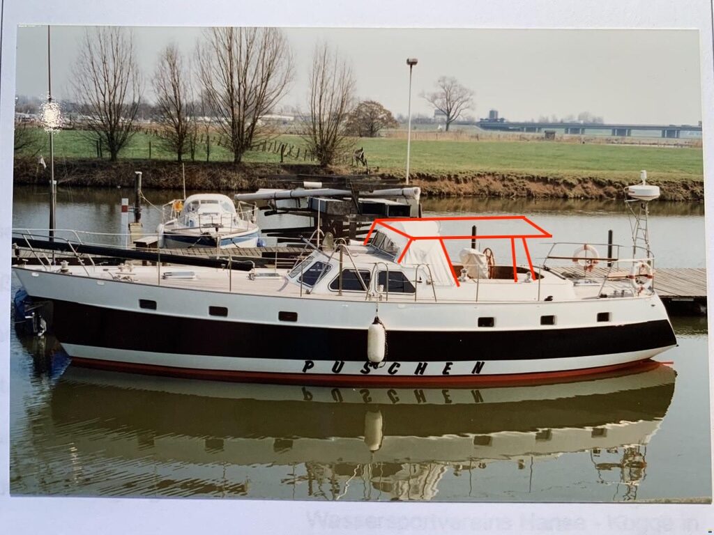
We are the little crew behind BERTA — a family of sailors who fell for a sturdy 1986 steel yacht in Bremen and decided to bring her home to warmer water. Instead of the open Atlantic, we chose the quiet way south: the rivers and canals of Europe, dropping the mast under bridges and locking down through five countries toward Turkey.

This site is our logbook, our route planner, and a small toolbox of things we built along the way. Everything here is free to use — if it helps you plan your own trip, that already makes us happy.

V
Vilijam
Skipper, photographer & the one who builds the apps.
M
Marc
Engine, systems & everything that has to actually work.
P
Patrick
Deck, lines & lock-master extraordinaire.

BERTA — the essentials

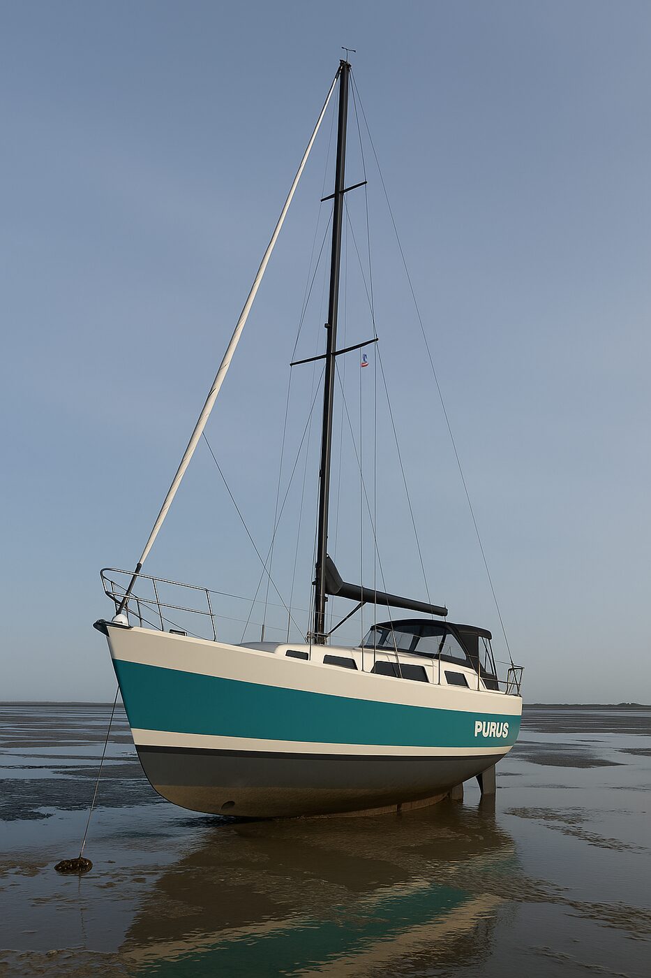
TypeSteel Wattenkreuzer
Builder / modelDeters · Glacer 42
Year1986
Length · beam13 m · 4 m
Draft (swing keel)0.88 – 2.2 m
EngineMercedes MB300, 81 PS
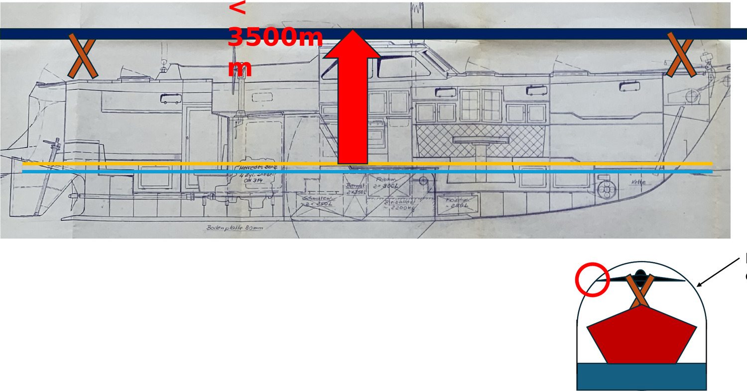
RigLowering mast (canal-ready)
Home portBremen 🇩🇪

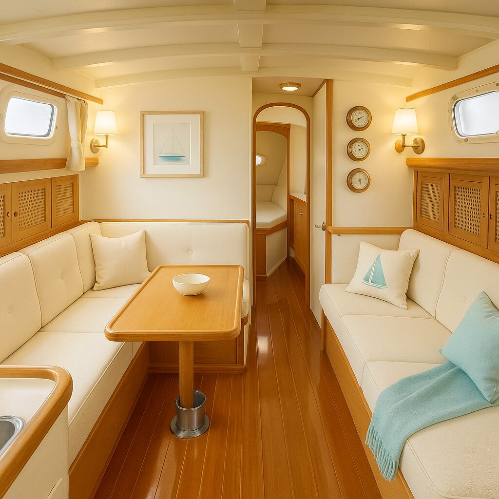
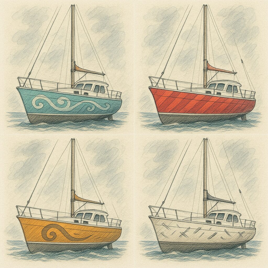
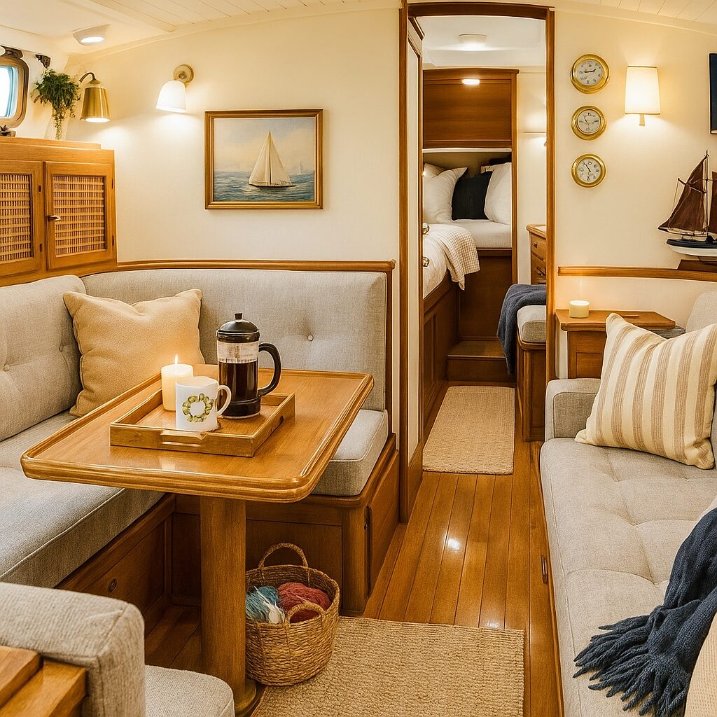
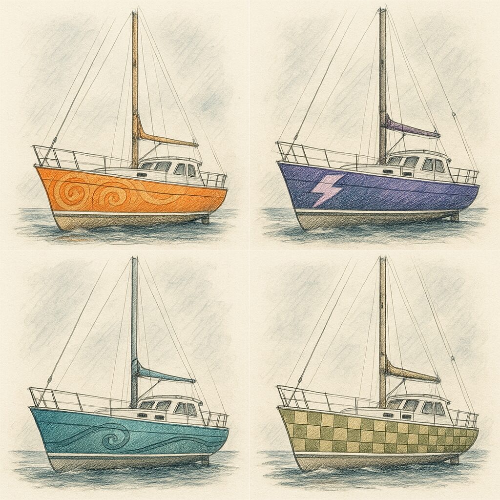
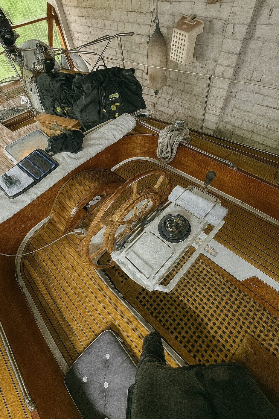
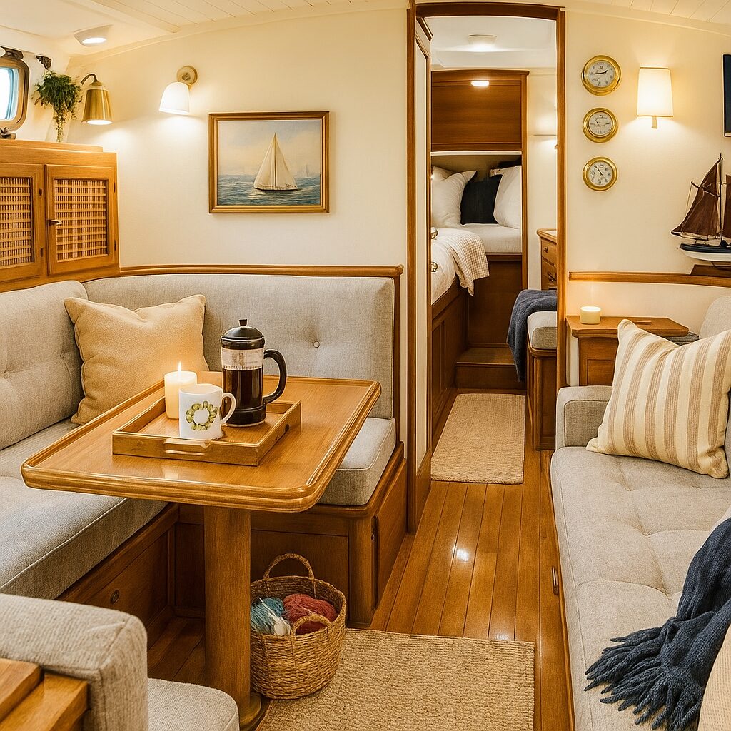
A mix of photos aboard BERTA and refit concept renders.

European Waterway Planner

Plan any route across Europe’s canals

Our full planner, live on the page. BERTA’s Bremen→Mediterranean route loads by default — or hit “Plan my own route”, click a start and destination anywhere on the Western-European network, add stops, and it finds the shortest waterway path for you. Switch to the side profile to see every lock and tunnel along the way, with details on hover.

12,400waterway segments
Any A → B+ add stops
Locks + tunnelsside-profile view
Weed ×tune to your boat

Covers France, Belgium, the Netherlands and western Germany (up the Rhine) — the whole Bremen→Med corridor. Shortest path is computed live from 12,400 real waterway segments. Tunnels come from the waterway data; lock counts are modeled estimates. Eastern waterways (Danube, Elbe) are a planned extension.

Free BERTA App

Log every trip. Keep every memory. Free

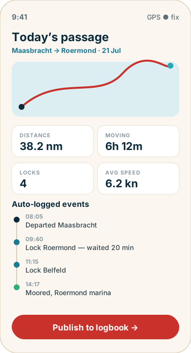
A dead-simple logbook for your own boat trips — record passages, locks, weather and miles, watch your engine live, then turn a day on the water into a shareable log entry. Built for BERTA, free for every sailor.

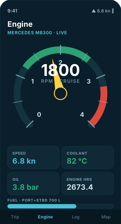
BERTA App engine screen with live RPM gauge
Live engine dashboardRPM, coolant, oil pressure & hours — straight from BERTA’s MB300
BERTA App trip log screen
Auto-logged passagesDistance, locks & timeline — one tap to publish
🧭

Track your passages

  • Auto-segment each day into events
  • Locks entered & left, mooring, arrival
  • Distance in nm & km, weather notes
📖

One-tap logbook

  • Turn a day into a clean log entry
  • Photos & positions attached
  • Export everything — it's your data
🌍

Share the voyage

  • Public voyage map from your track
  • Multi-language log entries
  • Works offline, syncs when you have signal

Learn photography — free

Frame the light between the locks

The best part of a slow voyage is having time to see. Over at vilijam.art, Vilijam shares a complete photography course — composition, light, editing — free to read, in several languages. Perfect for capturing your own waterway.

No paywall, no login. Just open it and start shooting better.

Open vilijam.art →
vilijam.art
Free photography course

Marinassist

Design and run a marina on a live grid Free download

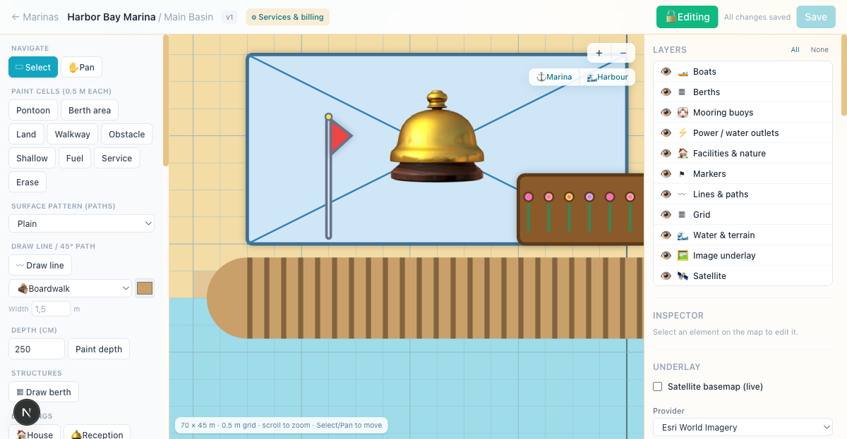
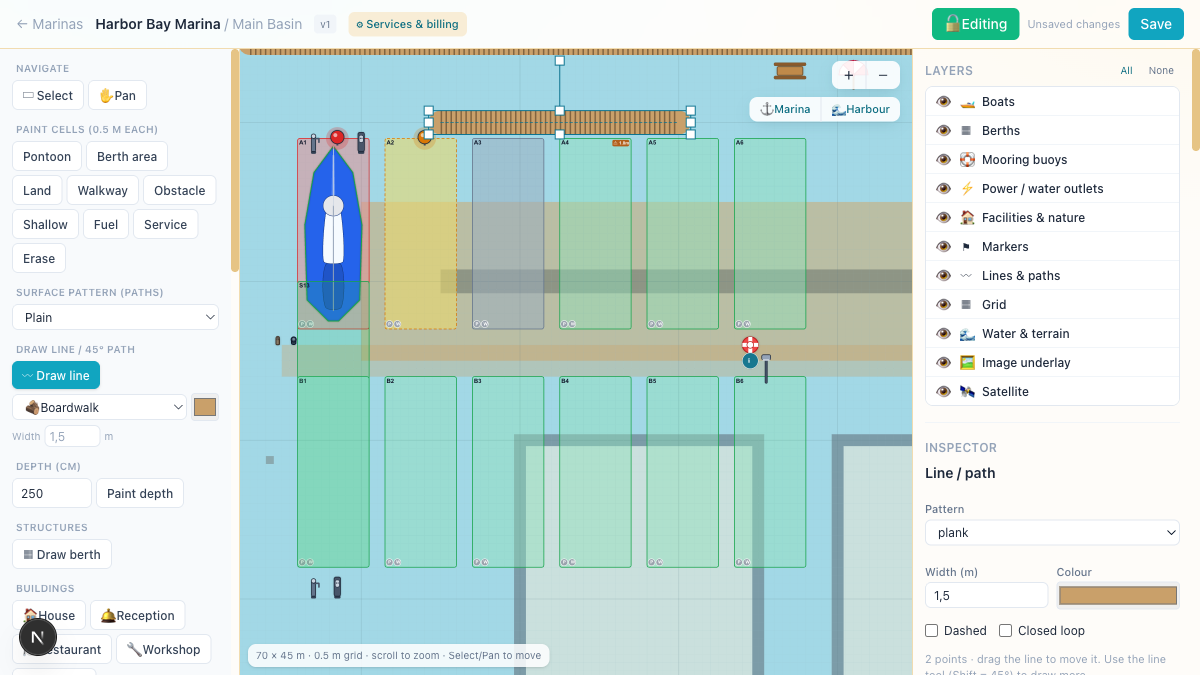
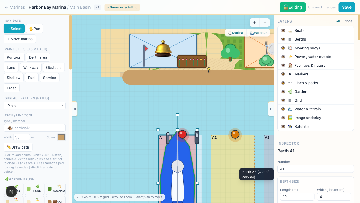
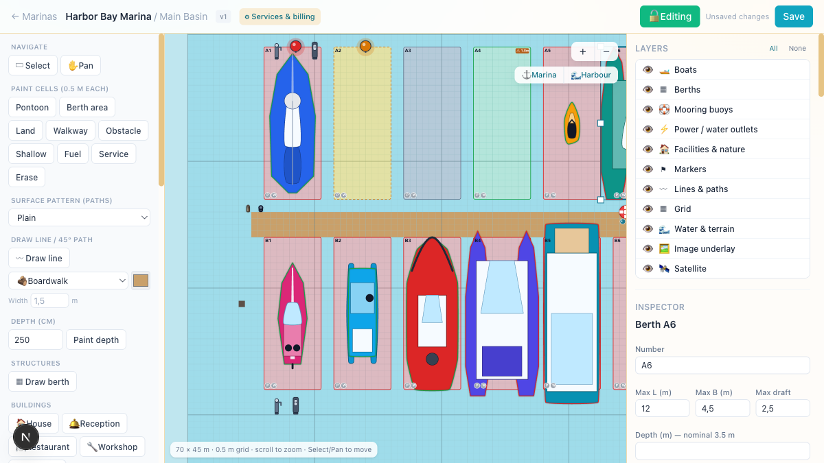
Marinassist is a full marina toolkit: lay out berths, boats, pontoons and facilities on a 0.5 m grid, trace over satellite imagery, and drive a live IoT layer for power, water and reservation lamps. Download the basic version for free — upgrade to PRO when you're ready for more.

Marinassist grid designer
Grid designerPaint berths, pontoons & facilities on a 0.5 m grid
Berths traced over satellite imagery
Trace over satelliteAnchor aerial imagery and draw your real marina
Berth inspector
Berth & boat fit-checksLength, beam, draft, power & water per berth
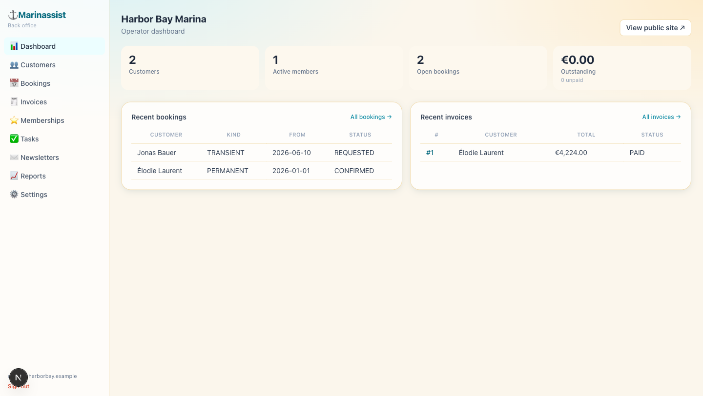
Operator back-office dashboard
Operator back officeCustomers, bookings, memberships & tasks
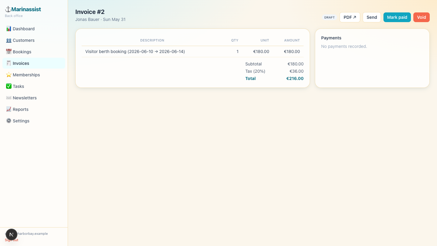
Invoice detail
Invoices & paymentsCard payments and metered power/water billing
Boat silhouette library
Boat libraryScaled top-down silhouettes for every hull type

Basic

Free / forever
  • Grid designer — berths, boats, pontoons & land
  • Full facility & boat library with fit-checks
  • Depth / shallow / obstacle painting
  • 1 marina layout, save & export
  • Satellite underlay tracing (Esri)
Download free
Pro

Pro

€19 / month per marina
  • Unlimited marinas & team members
  • Live IoT: metered power & water billing
  • Online bookings & card payments (Stripe)
  • Customer portal, invoices & memberships
  • Premium basemaps & priority support
Start PRO trial

WindAgent

Your weather window, watched for you

WindAgent keeps an eye on wind, rain radar and the forecast so you don't have to. It watches live radar and tells you when your next weather window opens — before you cast off.

Live rain radar Wind & gusts Weather-window alerts Built for sailors
Try WindAgent